Use Drone Video to Map a Property
The advent of drone technology has offered home and business owners an efficient and effective means for mapping out a piece of property. With the flexibility of using drone photography, you can get a more complete view of the property with a top-down view of all the natural and man-made features contained within. If you have a piece of property that you need mapped out for commercial or residential purposes, Blue Fire Drones can complete the work more quickly and efficiently than traditional surveying companies can do with their equipment. In today’s post, we will discuss the benefits of using drone technology to map out property for commercial or residential use.
Who Benefits from Drone Mapping?
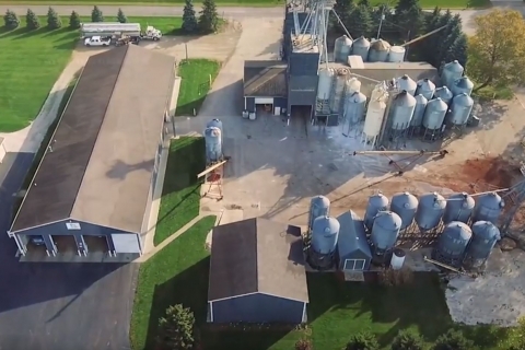
Certainly, the owner of a piece of property benefits from having the property mapped with drone photography, but there are many industries that can benefit from this type of mapping. Construction companies can use this mapping to help layout the property for new home or business construction, helping them find locations to include water, sewer, and gas lines, and even septic tanks or other features. Mining companies can use drone mapping for strategic planning and ensuring safety on the worksite. The use of drones allows for precise measurements and makes it easier to map heavily wooded areas that can cause issues for other types of equipment. Blue Fire Media can help pilot a drone over the property you need mapped no matter what intended use you have in mind for the property.
Identify Potential Safety Concerns
Beyond just mapping out your property for construction, drone mapping can also help you identify potential safety concerns on your property. This will help you recognize any hazardous areas that can result in injuries or other problems, making for a more efficient worksite and avoiding any expensive, time-consuming problems throughout the construction process. This means that your project can be completed more quickly, reducing costs along the way. Drone mapping also gives you a good lay of the land, helping you determine if any excavation is required for construction, and how much needs to be done.
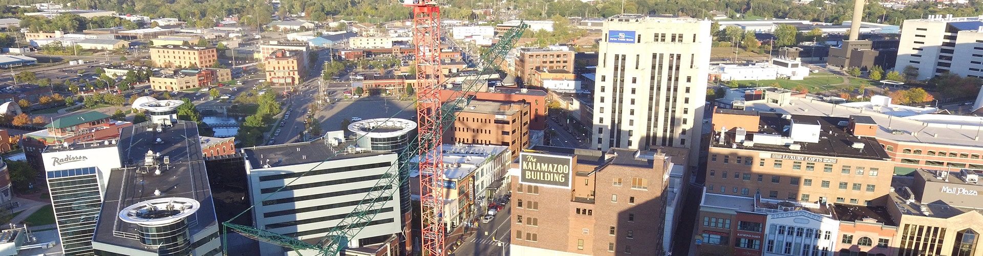
With these benefits in mind, you should consider Blue Fire Drones to complete your drone mapping project in Kalamazoo or the surrounding areas. We are dedicated to providing the best possible service to home and business owners alike. Contact Blue Fire Drones and let us know about the drone mapping service you need.